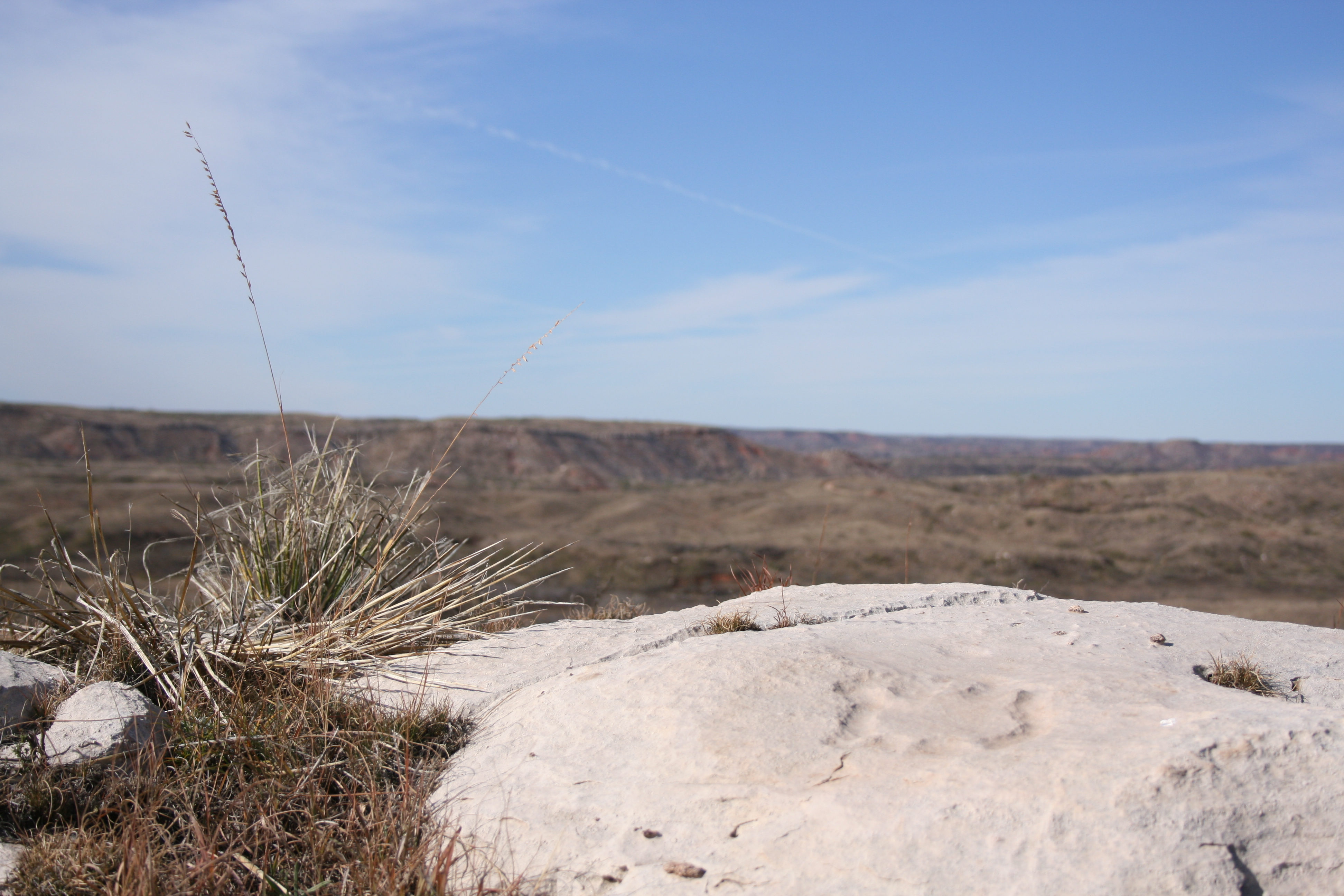
Turtle Petroglyph at Antelope Creek Village Site
Photo: NPS Photo
About
13,000 years ago, Alibates Flint was used by mammoth hunters as a source of flint for tools. Learn how important this site was to the survival, commerce, and culture of the people of the High Plains.
Activities
Arts and CultureCraft DemonstrationsCampingGuided ToursJunior Ranger ProgramPark FilmMuseum Exhibits
Directions
Alibates Flint Quarries is located approximately 35 miles north of Amarillo, Texas. From I-40 in Amarillo, take Lakeside exit north towards Lake Meredith National Recreation Area. Exit on TX 136 north towards Borger. After about 30 miles, turn west from TX 136 onto Cas Johnson Road. Park Service signs will be visible. Proceed approximately 3 miles to "Y" intersection and bear to right. Go northwest approximately 2 miles to the Alibates Flint Quarries National Monument Visitor Center.
Get directions →Weather
The Texas Panhandle experiences a wide variety of weather conditions throughout the year. Winters are cold and windy, and summers are hot and dry. It is usually a good idea to bring a jacket with you if you are planning on hiking to the quarries with a ranger because the mesa gets very windy, even in the summer.
News
No recent news