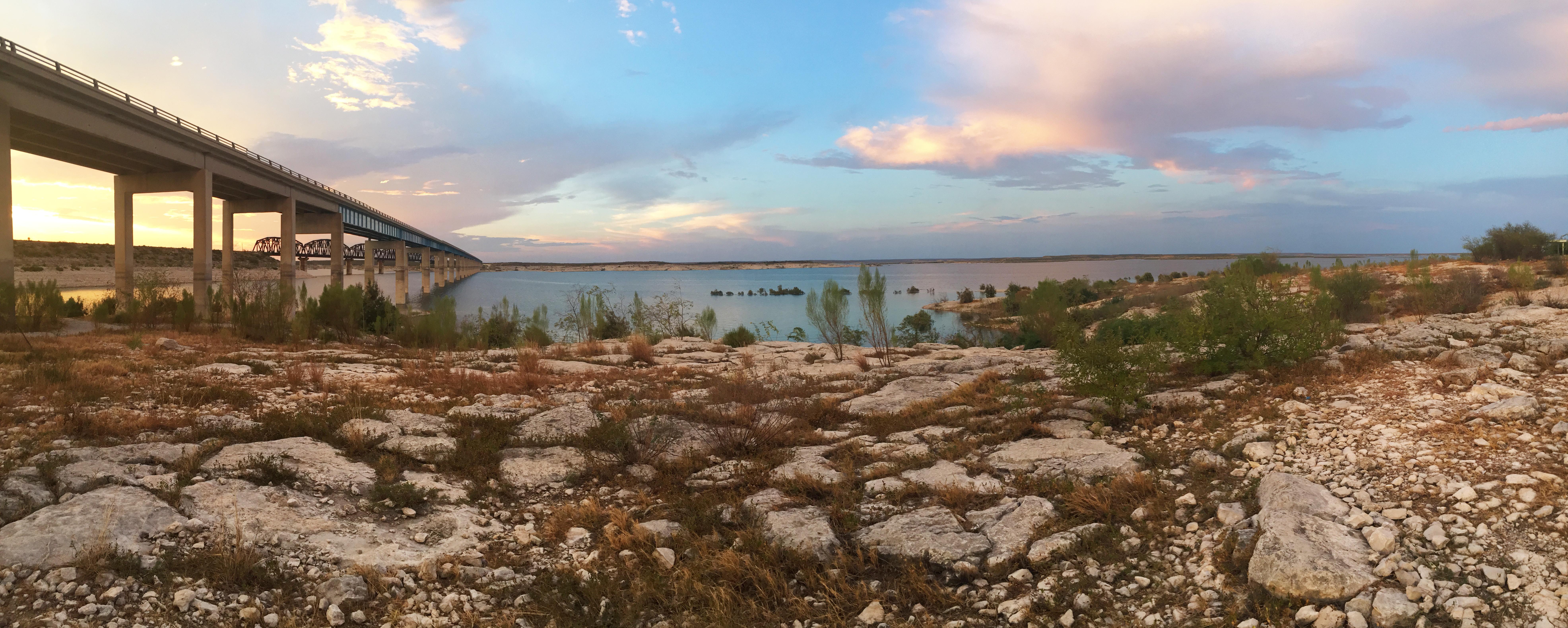
Enjoy the serenity of sunset at Amistad National Recreation Area's Governors Landing Day Use Area.
Photo: NPS / E Paola
About
An oasis in the desert, Amistad National Recreation Area consists of the US portion of the International Amistad Reservoir. Amistad, a Spanish word meaning "friendship," is known for excellent water-based recreation, camping, hiking, and rich cultural history dating back nearly 5,000 years. Amistad is also home to a wide variety of plant and animal life both above and below the water.
Activities
BoatingMotorized BoatingSailingJet SkiingCampingBackcountry CampingCanoe or Kayak CampingCar or Front Country CampingGroup CampingRV CampingFishingFreshwater FishingHikingFront-Country HikingHunting and GatheringHuntingPaddling
Directions
Amistad National Recreation Area is located on the US-Mexico border 7 miles west of the Del Rio city limit and 6 miles west of the US Highway 90 and 277 North intersection. The park is 160 miles west of San Antonio on US Highway 90 and about 230 miles east of Big Bend National Park via US Highway 90 and US Highway 385. Access to Amistad from the north or south is via US 277/377. The visitor center address is 10477 Highway 90 West, Del Rio, TX 78840.
Get directions →Weather
Weather in Southwest Texas can change in a matter of minutes. It is best to check the local weather report. Amistad National Recreation Area usually has hot summers and mild winters. For more information, please visit the park's Current Conditions page at https://www.nps.gov/amis/planyourvisit/conditions.htm.
News
No recent news