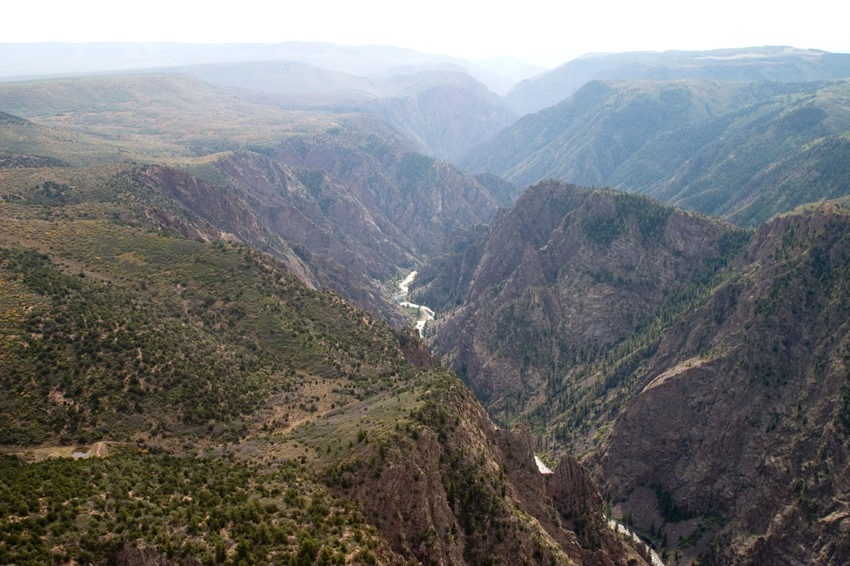
Black Canyon near Tomichi Point
Photo: NPS Photo/Lynch
About
Big enough to be overwhelming, yet still intimate enough to feel the pulse of time. Come see some of the steepest cliffs, oldest rock, and craggiest spires in North America. Forces of nature and the Gunnison River sculpted this canyon over two million years. The result is a vertical wilderness of rock, water, and sky.
Activities
AstronomyStargazingCampingBackcountry CampingCar or Front Country CampingRV CampingClimbingRock ClimbingFishingFly FishingHikingBackcountry HikingFront-Country HikingHorse Trekking
News
Jun 30, 2026
Stage 2 Fire Restrictions
Black Canyon and Curecanti will move to Stage 2 fire restrictions at 12:01 a.m. on Wednesday, July 1, 2026. The restrictions are in alignment with multiple state and federal partners in order to reduce the risk of fire in the region.
Jun 17, 2026
Stage 1 Fire Restrictions
Black Canyon and Curecanti will move to Stage 1 fire restrictions at 12:01 AM on Thursday, June 18, 2026. The restrictions are in alignment with multiple state and federal partners in order to reduce the risk of fire in the region.
Entrance Fees
Entrance - Private Vehicle$30.00
Entrance - Motorcycle$25.00
Entrance - Per Person$15.00
Commercial Entrance - Sedan$25.00