Explore Parks
All ParksExploreActivitiesAlertsNewsroom
This site was made with love by Ben Myatt|API
National River

Buffalo National River

A large bluff shelter near Buffalo Point.

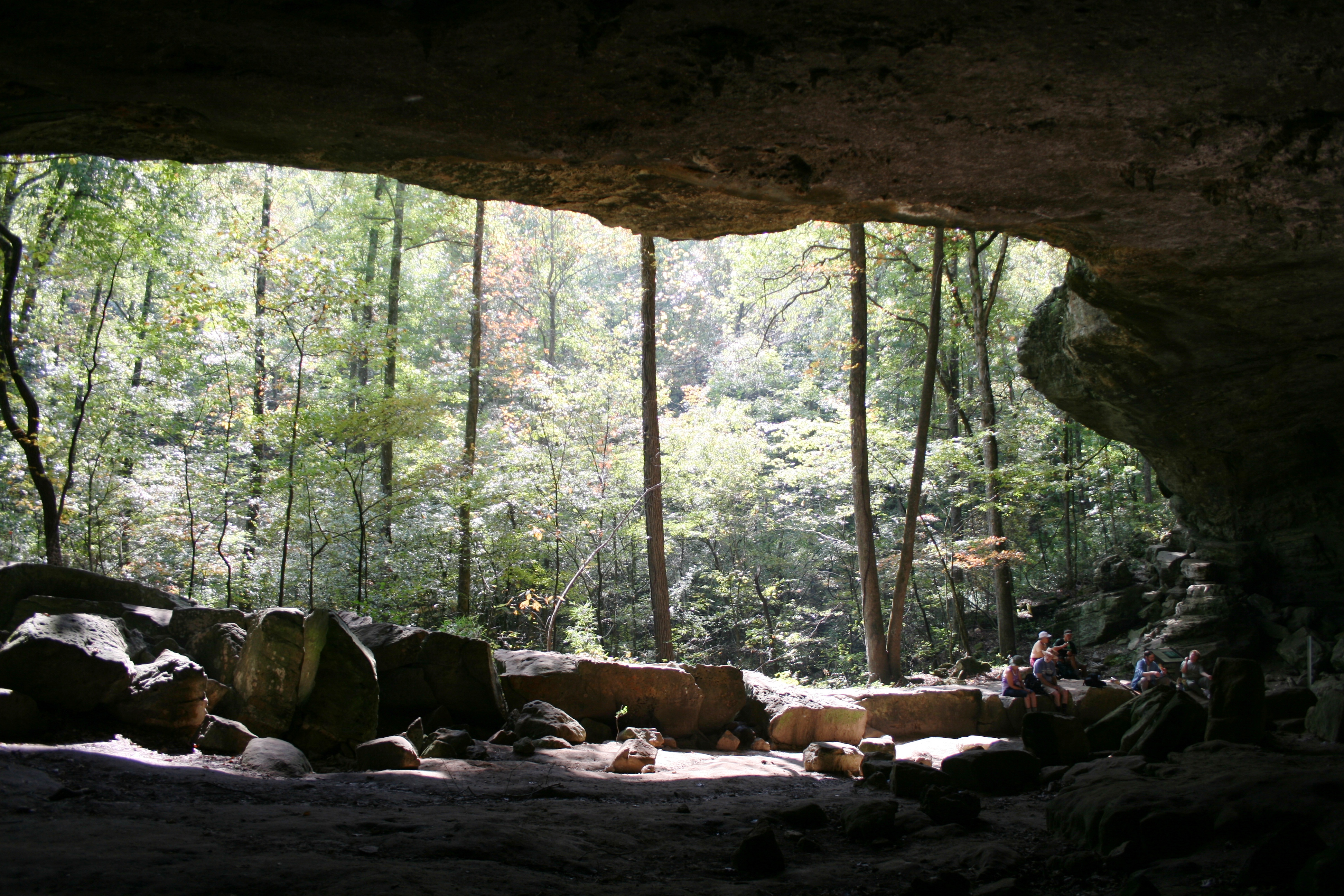
Every year thousands of people hike to the Indian Rockhouse to admire this large bluff shelter.

Photo: NPS Photo

About

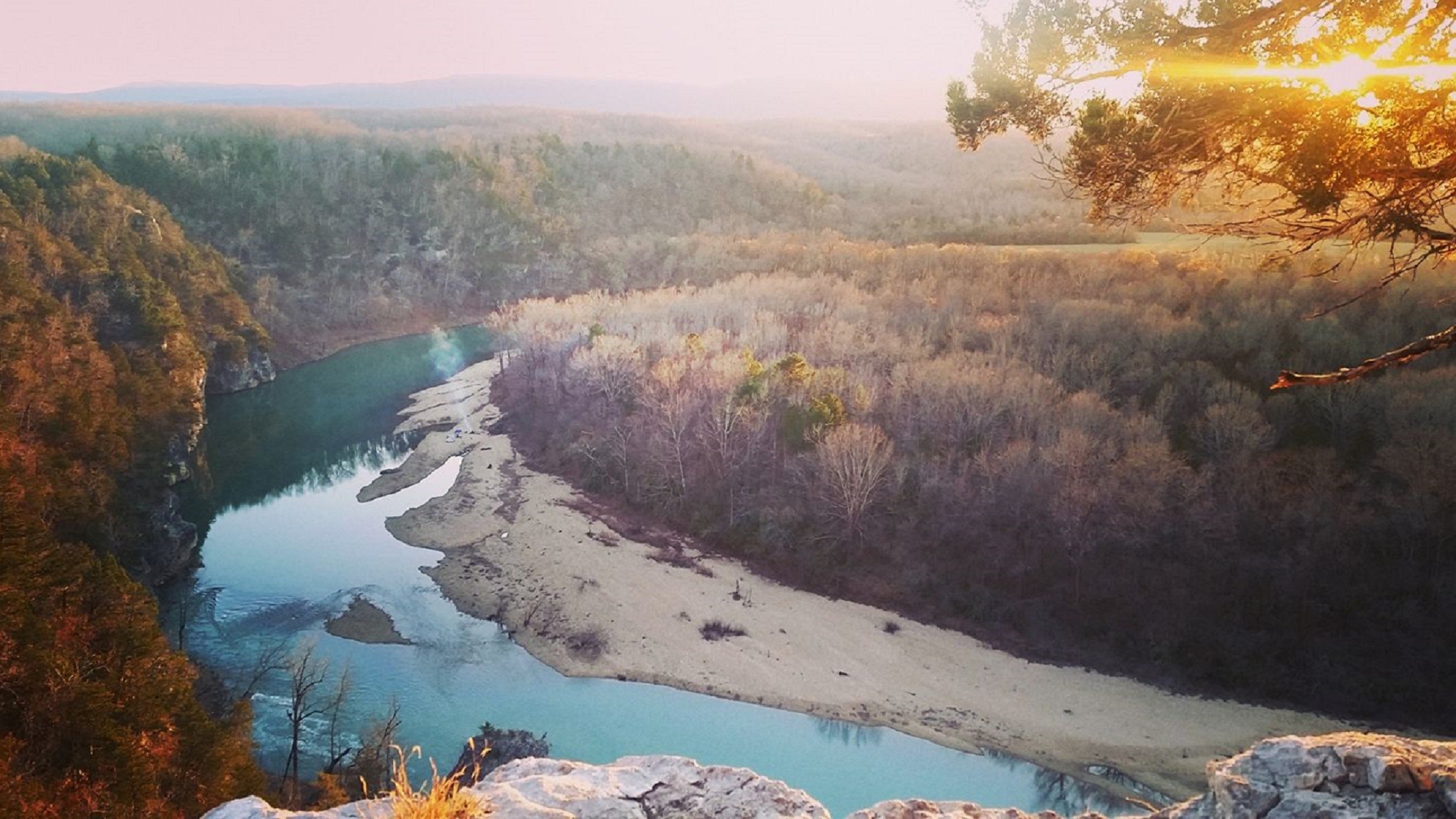
Established in 1972, Buffalo National River flows freely for 135 miles and is one of the few remaining undammed rivers in the lower 48 states. Once you arrive, prepare to journey from running rapids to quiet pools while surrounded by massive bluffs as you cruise through the Ozark Mountains down to the White River.

Activities

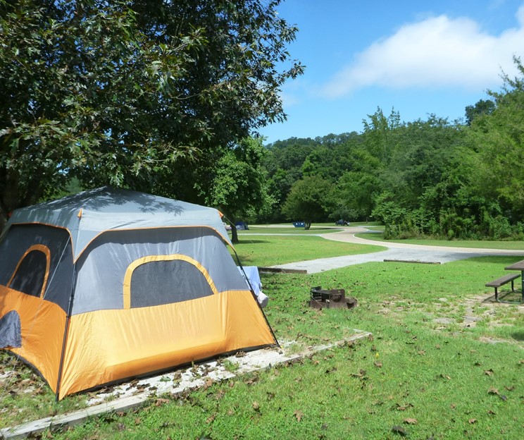
CampingBackcountry CampingCavingFishingFreshwater FishingFoodDiningPicnickingGuided ToursHikingBackcountry HikingOff-Trail Permitted HikingHorse TrekkingHorse Camping (see also camping)Horseback RidingHunting and GatheringPaddlingCanoeingCanoe or Kayak CampingKayakingJunior Ranger ProgramSwimmingFreshwater SwimmingWildlife WatchingPark FilmShoppingBookstore and Park Store

Directions

Buffalo National River is a long, narrow park that is crossed by three main highways. Highways 7, 43, and 62/65 are the main roads out of Harrison, Arkansas that will take you to the Buffalo River, depending on which part of the park you wish to visit. GPS systems are not reliable in this area so please call ahead for directions or pick up a map of the area beforehand.

Get directions →

Weather

Summer in the Ozarks can be very hot and humid. Please check the weather forecast prior to your arrival and plan accordingly. The weather the rest of the year has the potential to be wet and cool or dry and warm. Please pay special attention to river levels and the rain forecast when planning a trip on the river. River levels can rise dramatically in a short period of time so please be aware of conditions.

News

No recent news