Fort Spokane boat launch & day use open; Campground open with some closures
View →
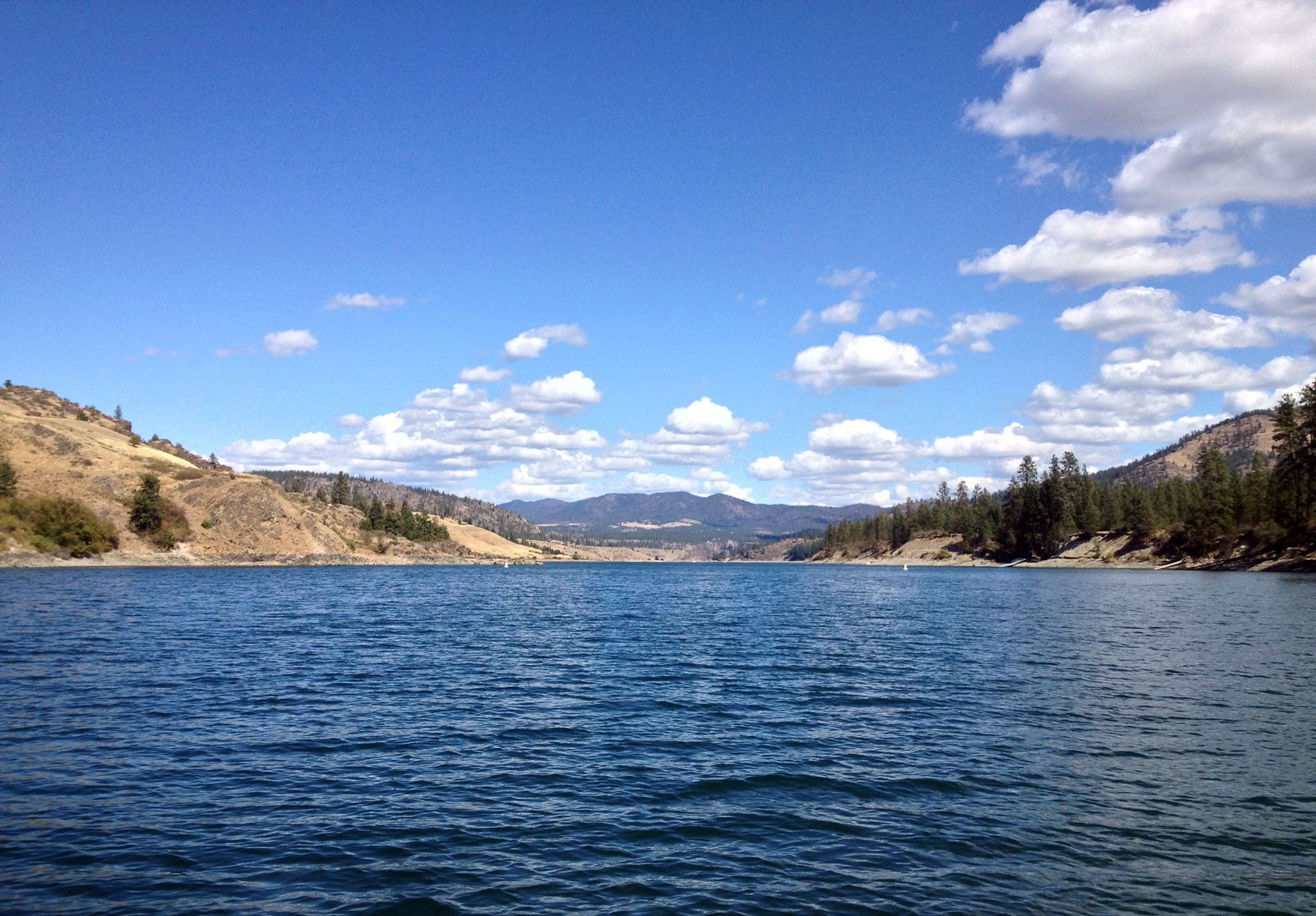
Looking down Lake Roosevelt with clear skies and treed shorelines.
Photo: NPS Photo
The ancient geologic landscape of the upper Columbia River cradles Lake Roosevelt in walls of stone carved by massive ice age floods. Come explore the shorelines and learn the stories of American Indians, traders and trappers, settlers and dam builders who called this place home. Swim, boat, hike, camp, and fish at this hidden gem in Northeast Washington, created by the Grand Coulee Dam.
From Spokane Take I-90 West. At Exit 277, merge onto US-2 toward Davenport/Fairchild AFB/Spokane Airport. Just past Wilbur, turn right onto WA-21. Stay left onto Highway 174. Turn right onto WA-155. Stay on WA-155 past Grand Coulee Dam and into the town of Coulee Dam. Cross the Columbia River and continue on WA-155. Turn right onto Crest Drive and follow up the hill. The Headquarters Office is located on the left.
Get directions →Lake Roosevelt is generally a cool or cold place from fall through spring with overcast skies. In the summer, the skies clear and present warm to hot days. More information on weather can be found under Alerts and Conditions.

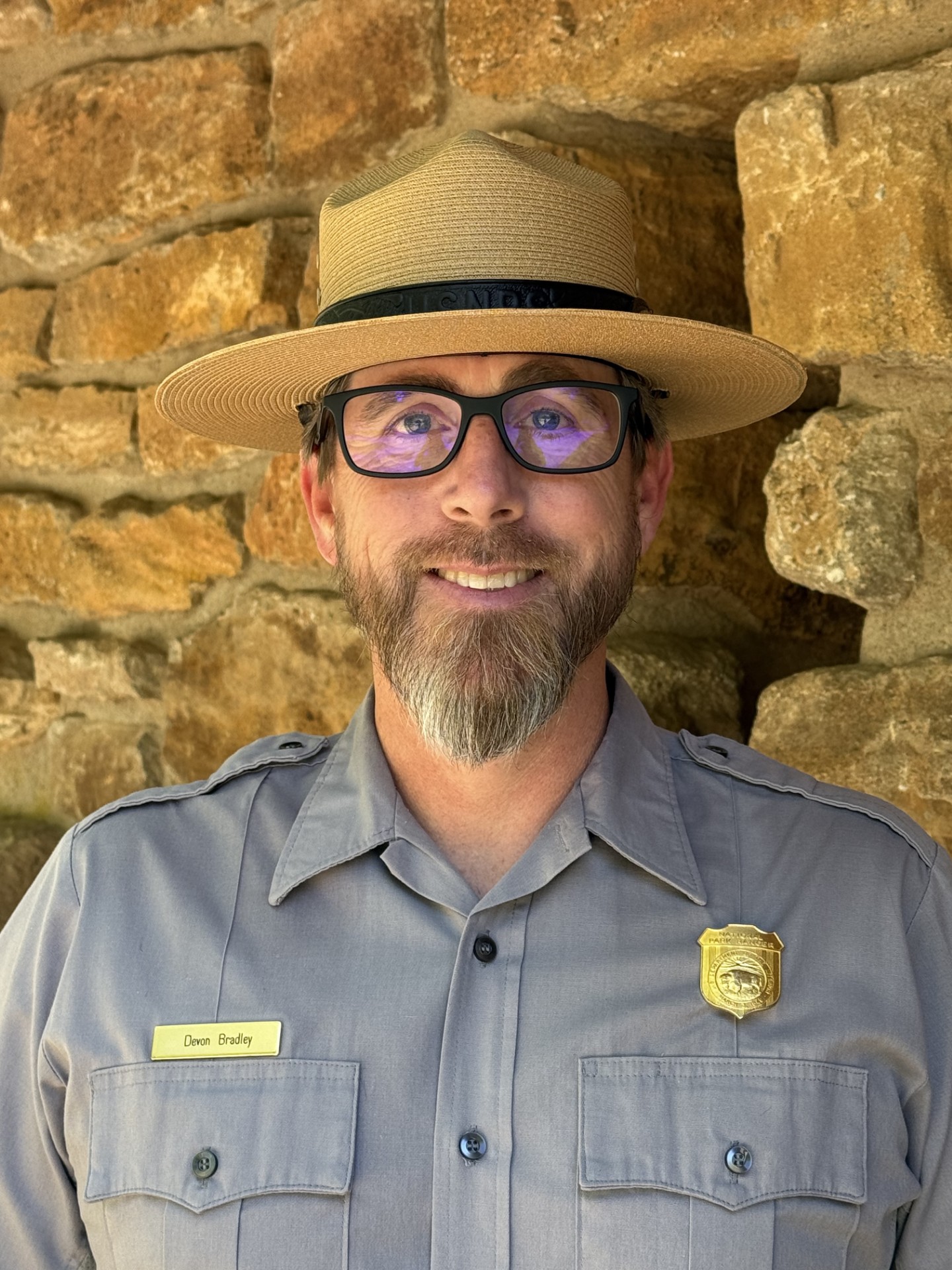
Lake Roosevelt National Recreation Area Welcomes New Superintendent
The National Park Service has selected Devon Bradley as superintendent of Lake Roosevelt National Recreation Area. He will assume the role October 4, 2026.
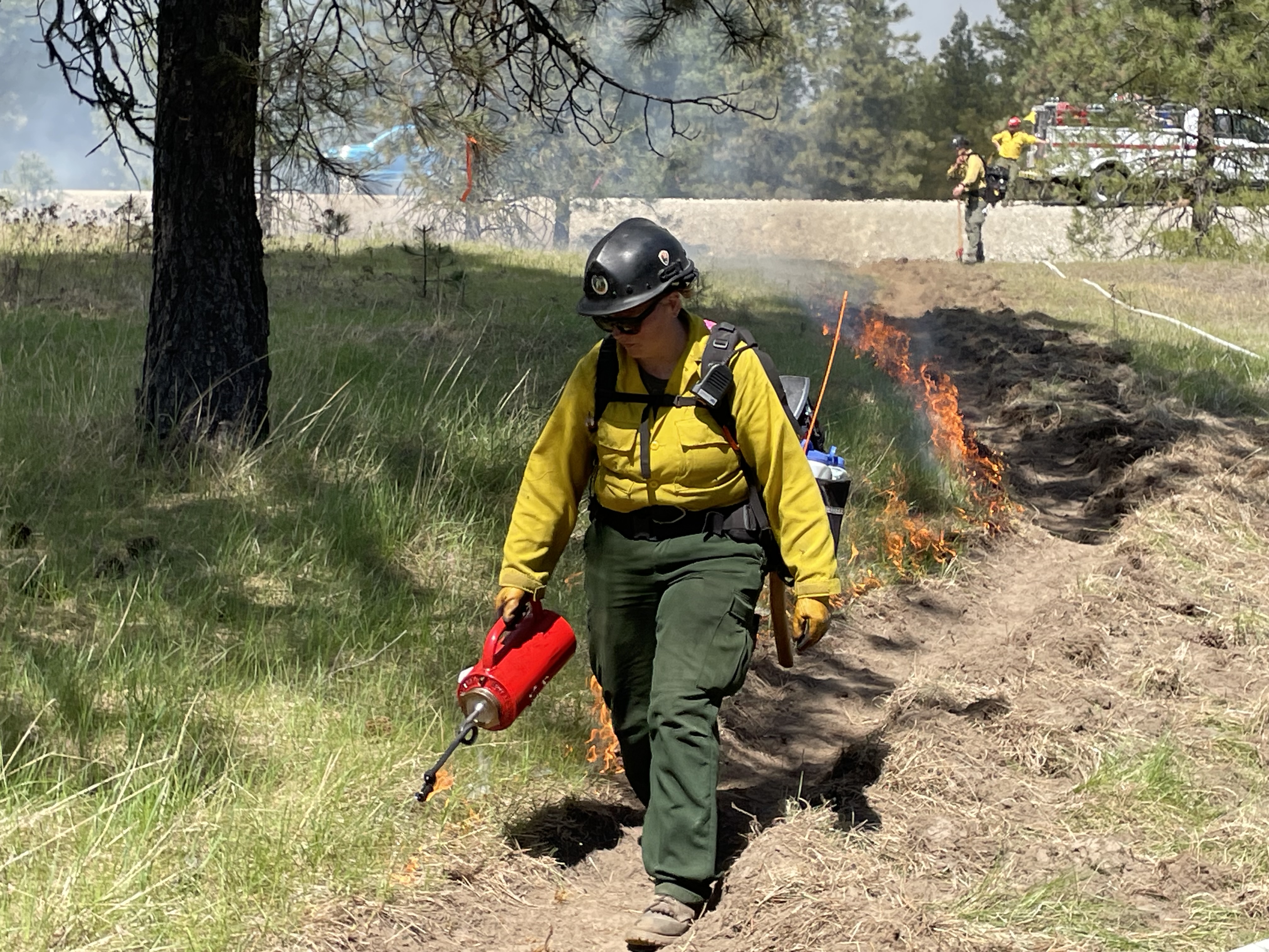
2026 Total Fire Restrictions Implemented
Due to extreme fire conditions, all fires at Lake Roosevelt National Recreation Area are prohibited effective 12:01 a.m., June 20, until further notice.
2026 Fish Fest
Information on 2026 Fish Fest at Lake Roosevelt National Recreation Area.