Explore Parks
All ParksExploreActivitiesAlertsNewsroom
This site was made with love by Ben Myatt|API
National Lakeshore

Pictured Rocks National Lakeshore

InformationDec 8, 2025

Most Park Roads Not Maintained for Winter

View →
Au Sable Lighthouse and light keeper's quarters

Au Sable Lighthouse and light keeper's quarters

Photo: NPS Photo

About

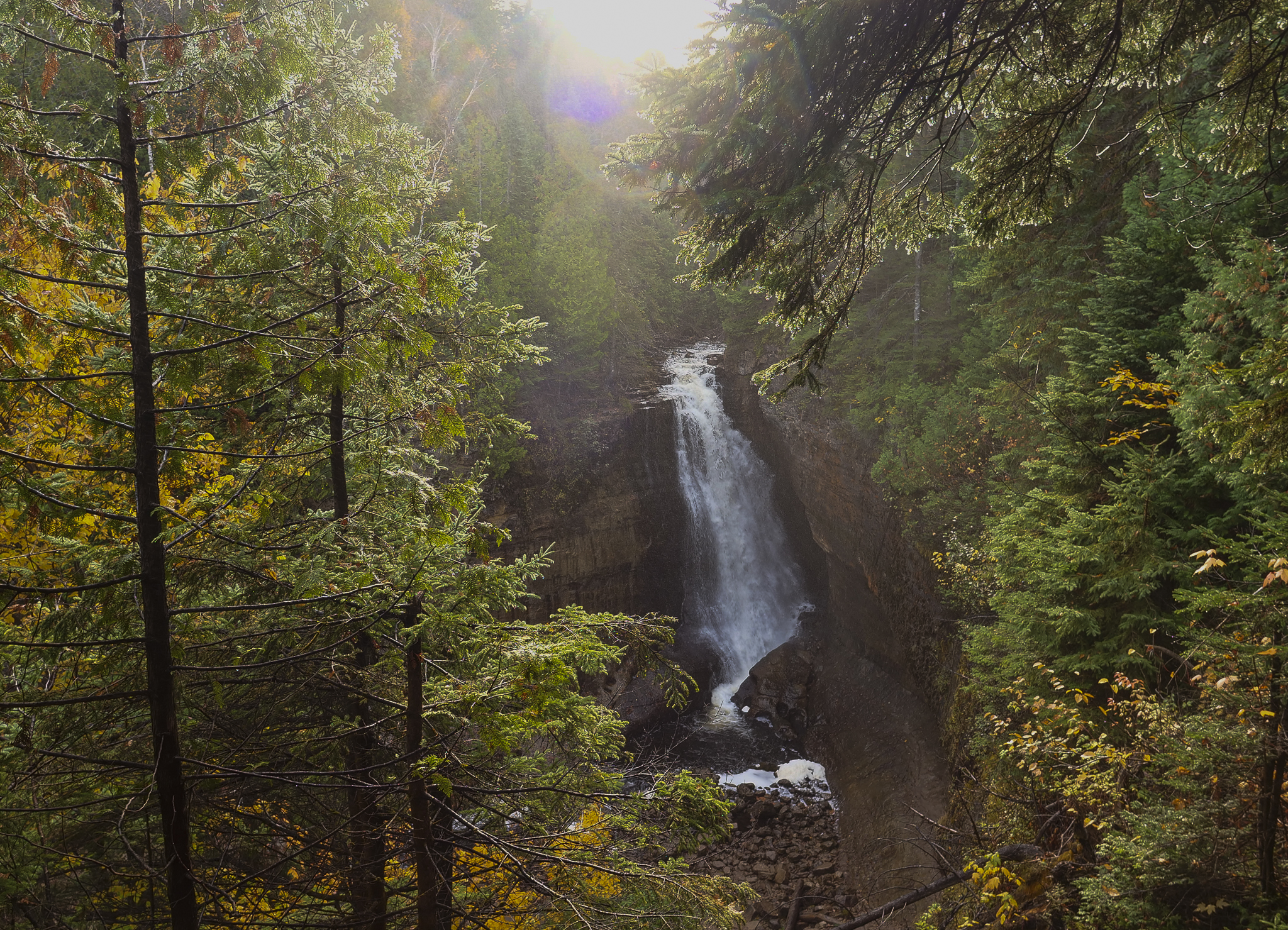
Sandstone cliffs, beaches, waterfalls, sand dunes, inland lakes, deep forest, and wild shoreline beckon you to visit Pictured Rocks National Lakeshore. The power of Lake Superior shapes the park's coastal features and affects every ecosystem, creating a unique landscape to explore. Hiking, camping, sightseeing, and four-season outdoor opportunities abound.

Activities

Auto and ATVScenic DrivingAstronomyStargazingBikingRoad BikingBoatingMotorized BoatingJet SkiingBoat TourCampingBackcountry CampingCanoe or Kayak CampingCar or Front Country Camping
Group Camping
RV Camping
Climbing
Ice Climbing
Fishing
Freshwater Fishing
Fly Fishing
Food
Picnicking
Guided Tours
Boat Tour
Hands-On
Volunteer Vacation
Hiking
Backcountry Hiking
Front-Country Hiking
Hunting and Gathering
Hunting
Paddling
Canoeing
Canoe or Kayak Camping
Kayaking
Stand Up Paddleboarding
Junior Ranger Program
SCUBA Diving
Skiing
Cross-Country Skiing
Snow Play
Snowmobiling
Snowshoeing
Swimming
Freshwater Swimming
Wildlife Watching
Birdwatching
Museum Exhibits
Shopping
Bookstore and Park Store

Directions

Pictured Rocks NL is located on the south shore of Lake Superior in Michigan's Upper Peninsula, between the towns of Munising (west) and Grand Marais (east). Access the west side of the park via Michigan highways M-28 and M-94 to Munising. State highway M-77 leads to Grand Marais on the east side. Alger County Road H-58 runs parallel and through the park, providing access to spur roads that lead to scenic overlooks, trailheads, campgrounds, beaches, etc. Most park roads are closed in winter due to snow.

Get directions →

Weather

Summers are pleasant with the average highs in June, July, and August in the 70s°F, and lows in the low 50s°F. The coldest months are December through March with average highs of 25°F to 32°F, and average lows in the teens. Annual precipitation averages 31 inches; average annual snowfall is about 140 inches, although winters with more than 200 inches are not uncommon. Snow generally covers the ground from late November through late April.

News

Pictured Rocks National Lakeshore Accepting Applications for 2026 & 2027 Commercial Operating Seasons
Nov 19, 2025

Pictured Rocks National Lakeshore Accepting Applications for 2026 & 2027 Commercial Operating Seasons

Pictured Rocks National Lakeshore is accepting applications for the 2026 and 2027 commercial operating seasons beginning November 19, 2025, through January 19, 2025.

Entrance Fees

Entrance - Private Vehicle$25.00
Entrance - Motorcycle$20.00
Entrance - Snowmobile$15.00
Entrance - Per Person$15.00